
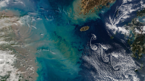
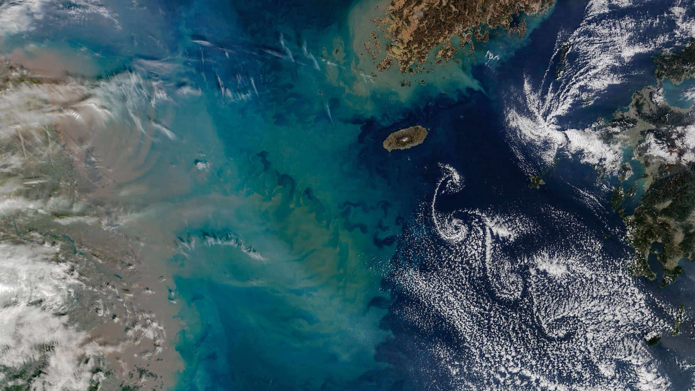
A satellite photo, captured in February 2026, shows a series of cloud swirls, known as Kármán vortex street, alongside a giant underwater sediment plume in the East China Sea. Parts of China (left), South Korea (top right) and Japan (right) can be seen in the aerial image.
(Image credit: NASA/Terra/MODIS)
QUICK FACTS
Where is it? Jeju Island, South Korea, in the East China Sea [33.37671270, 126.46997496]
What’s in the photo? A “street” of swirling clouds alongside a giant sediment plume
Which satellite took the photo? NASA’s Terra satellite (using the MODIS instrument)
When was it taken? Feb. 19, 2026

Harry is a U.K.-based senior staff writer at Live Science. He studied marine biology at the University of Exeter before training to become a journalist. He covers a wide range of topics including space exploration, planetary science, space weather, climate change, animal behavior and paleontology. His recent work on the solar maximum won “best space submission” at the 2024 Aerospace Media Awards and was shortlisted in the “top scoop” category at the NCTJ Awards for Excellence in 2023. He also writes Live Science’s weekly Earth from space series.
” data-join-the-conversation-text=”Join the Conversation”>
You must confirm your public display name before commenting
Please logout and then login again, you will then be prompted to enter your display name.